Category: StreetPage 1 of 11
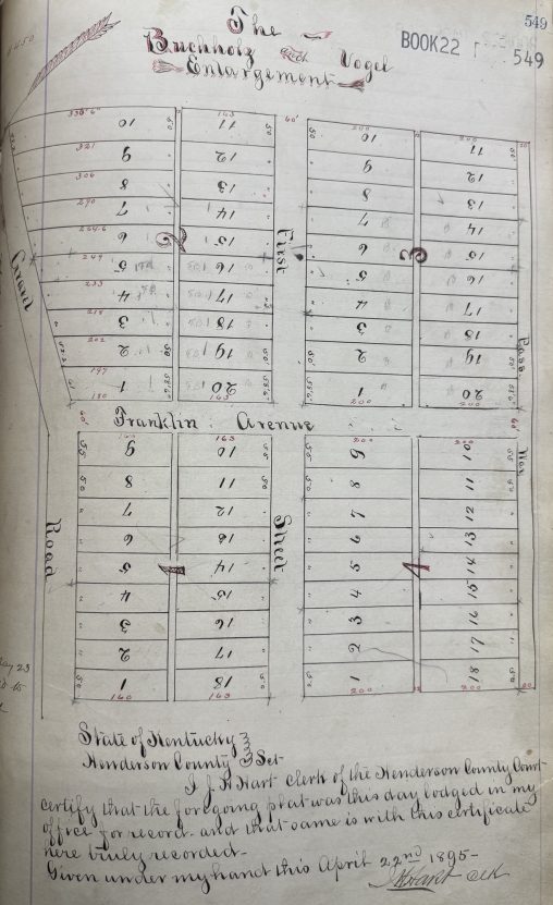
The Buchholz and Vogel Enlargement was a late-19th-century subdivision addition that helped extend the City of Henderson eastward during a period of steady growth. The addition was named…
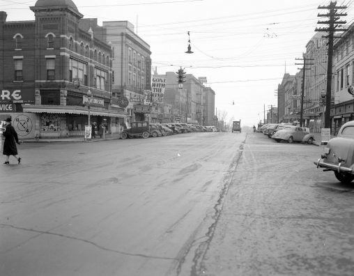
Check out this awesome photo of Second Street in 1940! Standing on Second Street and looking towards the river, this remarkable photograph captures downtown Henderson at a moment…
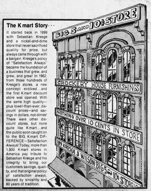
I just recently learned the story behind Kresge Drive. It’s named after Sebastian Kresge, the founder of Kmart, which opened in Henderson at 1700 S Green Street (now…
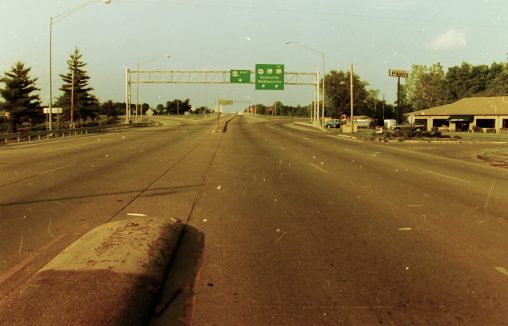
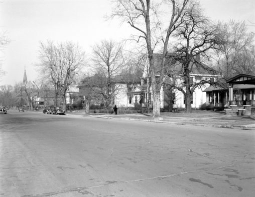
North Green Street at Richardson before the full median was put in. Same area as the former North Y.
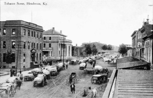
This historic photograph, labeled “Tobacco Scene, Henderson, Ky”, captures a busy view of downtown Henderson around 1915. The vantage point is looking north along the 200 block of…
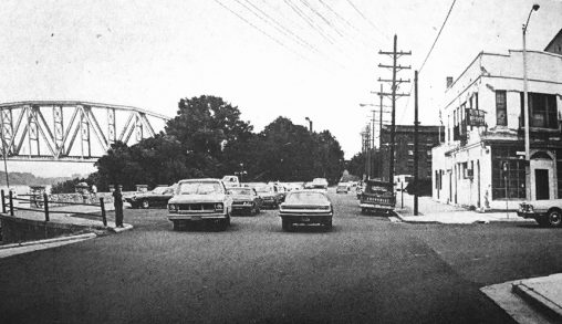
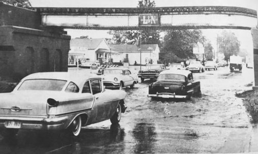
Water Street looking North. Visible is the Henderson Train Bridge and 101 Second Street.
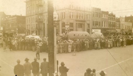
Corner of Second and Main streets during a Christmas parade in 1950s.

